Looking back south at Yoke, Ill Bell, and Froswick

A Kentmere Round in the snow, Lake District – March

Having gone to a Buzzcocks gig the previous night with friends in Kendal, somehow we all managed to get up and gather ourselves and our gear in the morning to drive over to Kentmere late morning for a circular walk.

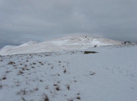
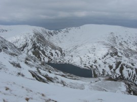
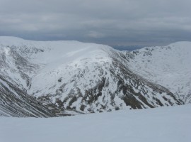
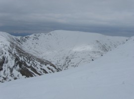
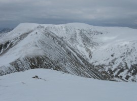
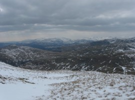
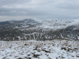
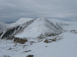
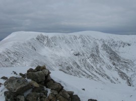
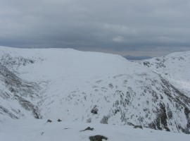
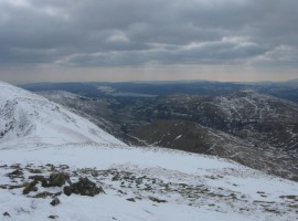
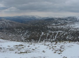
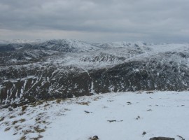
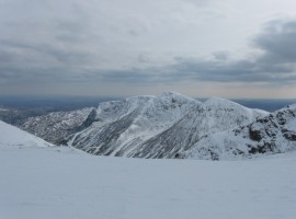
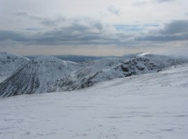
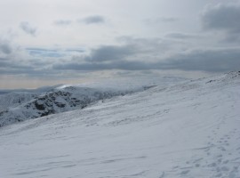
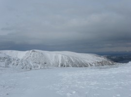
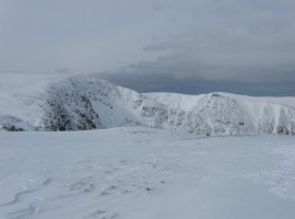
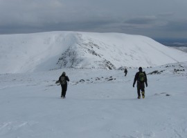
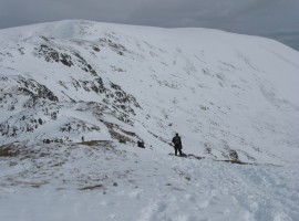
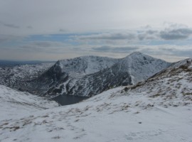
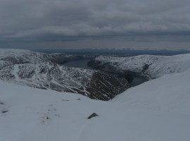
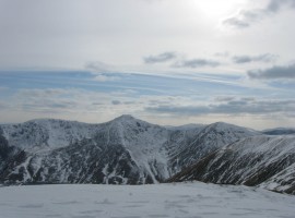
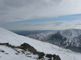
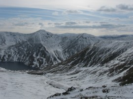
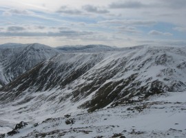
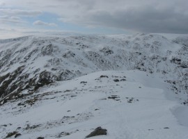
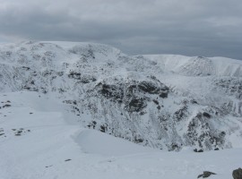
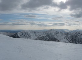
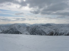
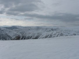
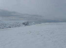
Once we got onto the ridge, we put our crampons on, as it became quite snowy and icy underfoot. It was quite windy on the tops as well.

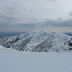
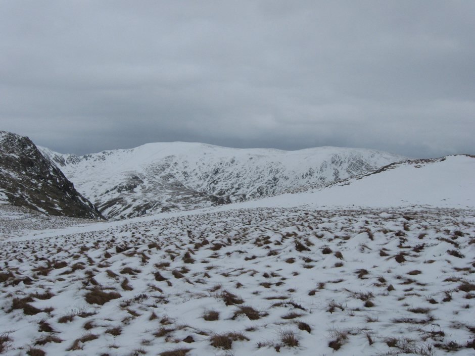
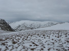
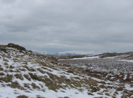
The condition of the snow was not the most pleasant for an extended ridge walk – your feet would keep breaking through the surface crust, landing with a jarring thud onto the ground below, but you could not tell most of the time if this was going to happen or not. Where the snow was still quite solid, the walking was much more enjoyable, providing a smooth surface where you did not have to watch each step in case you might twist your ankle on stones. The rest of the snow felt soft to walk in, with a texture like dry sand into which your feet would sink.

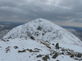
It felt strange to have a good number of hours to complete the horseshoe route in wintry conditions, as I kept feeling as though it should have got dark by about 4pm.

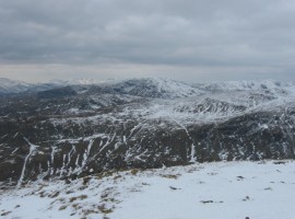
It was good to have had the opportunity finally to use the crampons for the day, rather than for a short section of a walk. They did feel quite heavy on the feet, and with my sock combination not quite right that day they pulled on my boots, giving me a blister by the latter part of the walk, so that in the end I had to stop to put a blister plaster on the affected heel. I enjoyed the day all the same.

Harter Fell and Kentmere Pike

The tops in the distance seem to be Harter Fell and Kentmere Pike, towards the end of our walk.

lakes_2013-03-31_002b
Yoke?

Yoke?

Kentmere Reservoir, with Mardale Ill Bell and Harter Fell behind

Kentmere Reservoir, with Mardale Ill Bell and Harter Fell behind

Mardale Ill Bell in the middle with its spur, Lingmell End

Mardale Ill Bell in the middle with its spur, Lingmell End

Harter Fell

Harter Fell

Looking ahead to Froswick and Mardale Ill Bell

Looking ahead to Froswick and Mardale Ill Bell round to the right (east). Thornthwaite Crag is on the left, but we did not go up to it.

Looking south-west towards Ambleside?

Looking south-west towards Ambleside?

Looking west towards the Red Screes and Kirkstone Pass?

Looking west towards the Red Screes and Kirkstone Pass?

Froswick

Froswick

From Froswick, looking over to High Street

From Froswick, looking over to High Street

Mardale Ill Bell

Mardale Ill Bell

Looking back south at Ill Bell

Looking back south at Ill Bell

Looking west

Looking west

Looking south-south-west, towards Windermere

Looking south-south-west, towards Windermere

Looking west-south-west, towards Langdale

Looking west-south-west, towards Langdale

Looking west

Looking west

Looking back south at Yoke, Ill Bell, and Froswick

Looking back south at Yoke, Ill Bell, and Froswick

Looking south-west towards Froswick, Wander Scar, and the High Street path

Looking south-west towards Froswick, Wander Scar, and the High Street path

Looking west towards Thornthwaite Crag Beacon

Looking west towards Thornthwaite Crag Beacon

Looking north-east, towards Haweswater Reservoir

Looking north-east, towards Haweswater Reservoir

Kidsty Pike, High Raise and Low Raise

Kidsty Pike, High Raise and Low Raise

High Street on left

High Street on left

Heading south-east from Mardale Ill Bell

Heading south-east from Mardale Ill Bell towards Harter Fell

Harter Fell

Harter Fell

The bowl-shaped corrie between Yoke and Ill Bell

The bowl-shaped corrie between Yoke and Ill Bell

Looking north-east at Haweswater Reservoir

Looking north-east at Haweswater Reservoir

Two corries - between Yoke, Ill Bell, and Froswick

Two corries – between Yoke, Ill Bell, and Froswick

Cloud, slope, and horizon

Cloud, slope, and horizon

Looking south-west.

Looking south-west. Lingmell End slopes down from the right to Kentmere Reservoir.

Looking back west towards Froswick and Mardale Ill Bell

Looking back west towards Froswick and Mardale Ill Bell

Looking north-west towards Mardale Ill Bell and High Street

Looking north-west towards Mardale Ill Bell and High Street

Looking north-west towards High Street and Kidsty Pike

Looking north-west towards High Street and Kidsty Pike

Looking south-west

Looking south-west

Looking south-west, with good visibility as far as Langdale

Looking south-west, with good visibility as far as Langdale

Looking west-north-west

Looking west-north-west

Looking back north-west, before heading down

Looking back north-west, before heading down

Harter Fell and Kentmere PikeYoke?Kentmere Reservoir, with Mardale Ill Bell and Harter Fell behindMardale Ill Bell in the middle with its spur, Lingmell EndHarter FellLooking ahead to Froswick and Mardale Ill BellLooking south-west towards Ambleside?Looking west towards the Red Screes and Kirkstone Pass?FroswickFrom Froswick, looking over to High StreetMardale Ill BellLooking back south at Ill BellLooking westLooking south-south-west, towards WindermereLooking west-south-west, towards LangdaleLooking westLooking back south at Yoke, Ill Bell, and FroswickLooking south-west towards Froswick, Wander Scar, and the High Street pathLooking west towards Thornthwaite Crag BeaconLooking north-east, towards Haweswater ReservoirKidsty Pike, High Raise and Low RaiseHigh Street on leftHeading south-east from Mardale Ill BellHarter FellThe bowl-shaped corrie between Yoke and Ill BellLooking north-east at Haweswater ReservoirTwo corries - between Yoke, Ill Bell, and FroswickCloud, slope, and horizonLooking south-west.Looking back west towards Froswick and Mardale Ill BellLooking north-west towards Mardale Ill Bell and High StreetLooking north-west towards High Street and Kidsty PikeLooking south-westLooking south-west, with good visibility as far as LangdaleLooking west-north-westLooking back north-west, before heading down


Map of walk route

View Kentmere round – Mar 2013 in a larger map